A Rigorous Deconstruction of Altitude, Wind, and Stone Along South America’s Southernmost Axis
At 04:30 hours, the mercury drops to minus five Celsius on the high puna of El Tatio. Sulphurous vapor columns explode violently from the earth’s crust at 4,320 meters above sea level, slicing through thin, oxygen-deprived darkness. Dust settles on the heavy rubber seals of the transfer vehicles while the Andes stand as black, jagged cutouts against a bleeding dawn. There is no warmth here, only the sharp bite of high-altitude frost, the hiss of pressurized geothermal vents, and the immediate, unyielding reminder that this long southern territory does not yield to human comfort. The voyage across Chile’s 4,000-kilometer spine has begun, etched in ice, salt, and volcanic rock.
Geography & The Stakes
Chile is a geographic anomaly—a razor-thin ribbon of terrestrial friction pinned between the absolute wall of the High Andes and the abyss of the Peru-Chile Trench. To navigate this corridor is to endure a relentless environmental gauntlet. The terrain shifts abruptly from the hyper-arid evaporite flats of the Salar de Atacama—where annual rainfall is measured in fractions of a millimeter—to the tempest-wracked granite massifs of Torres del Paine, and ultimately across 3,700 kilometers of open ocean to the isolated basalt redoubt of Rapa Nui. Historically, these landscapes punished the unprepared, isolating pre-Columbian cultures and breaking early European sea captains. The stakes here are simple: master your logistics and respect the weather systems, or be ground down by wind, cold, and sheer spatial velocity.
The Logistics & The Movement
Execution across three distinct climate zones demands mechanical precision and rigorous gear calibration. Phase one requires immediate thermal adjustment: ascending from Santiago’s central basin to San Pedro de Atacama. In the Cordillera de la Sal and Valle de la Luna, heavy-vehicle tires grind across dry salt crusts and wind-carved sandstone. Acclimatization is vital before ascending to the 4,400-meter puna; hydration protocols must be strictly enforced as ambient humidity drops near zero. Gear shifts rapidly from light desert shells to heavy down layers to withstand the pre-dawn freeze at El Tatio's geothermal field.
Phase two forces a rapid southern pivot via Santiago to Puerto Natales, where subantarctic meteorological systems dominate. Entering Torres del Paine National Park, the wind becomes the primary adversary—gusts off the Southern Patagonian Ice Field frequently exceed 40 knots. Movement shifts to saddle-leather trail rides along the Río Serrano basin and maritime hulls. Navigating Lake Pehoé requires monitoring wave-pitch before boarding the catamaran bound for Glaciar Grey. On the water, three-meter hulls shudder as they cut through grey glacial melt, maneuvering past floating icebergs of dense, light-absorbing blue ice. The terminal face of Grey Glacier presents a vertical wall where calving ice crashes into the lake with percussive force. Tactical timing is essential; sudden katabatic winds off the ice sheet can shut down lake operations within minutes.
Phase three transitions from subantarctic granite to absolute oceanic isolation. A five-and-a-half-hour transpacific flight on a Boeing 787 lands at Mataveri Airport on Rapa Nui. Here, logistics simplify to foot travel and low-gear vehicles over volcanic soil. The route traces the rim of Rano Kau crater and the volcanic quarry of Rano Raraku. The movement throughout this 12-day sequence is unrelenting: alternating between pressurized aircraft cabins, high-clearance four-wheel-drive suspensions, iron stirrups, and maritime hulls, requiring continuous equipment recalibration against dust, salt, spray, and sub-zero freeze.
The Human & Cultural Echo
Human survival along this axis has always required radical adaptation. In Valparaíso, steep, chaotic stairways lead to La Sebastiana, where poet Pablo Neruda anchored his creative sanctuary against Pacific gales. In the interior oasis of San Pedro de Atacama, 17th-century adobe structures reflect an architectural compromise between Spanish colonial imposition and indigenous desert engineering.
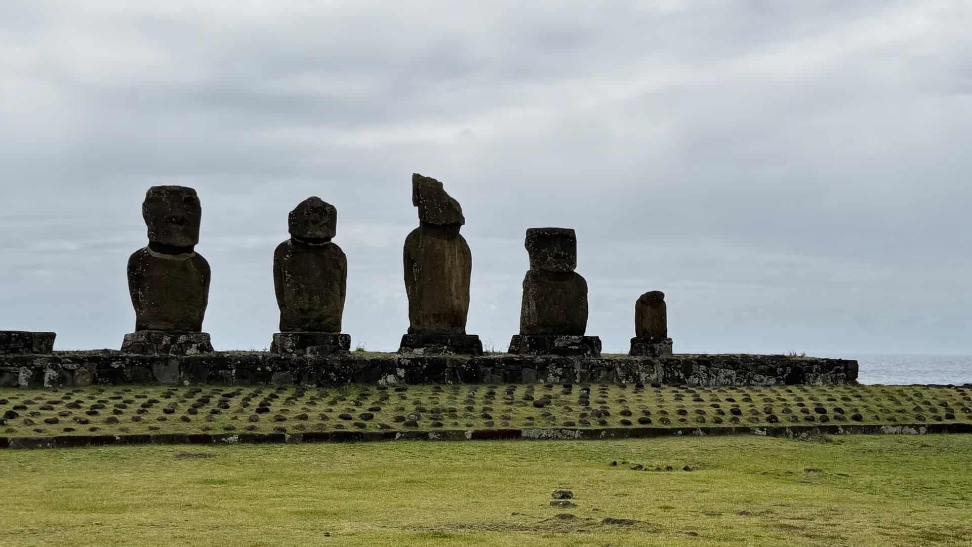
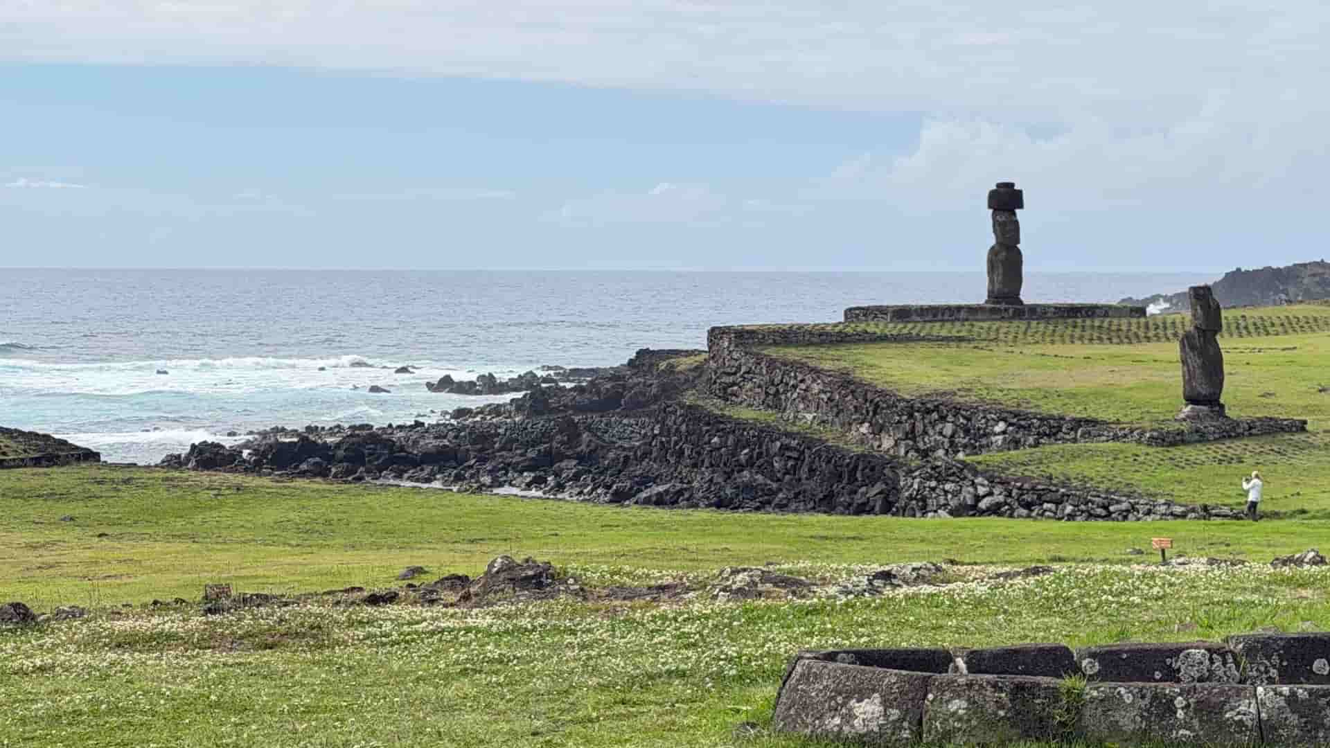
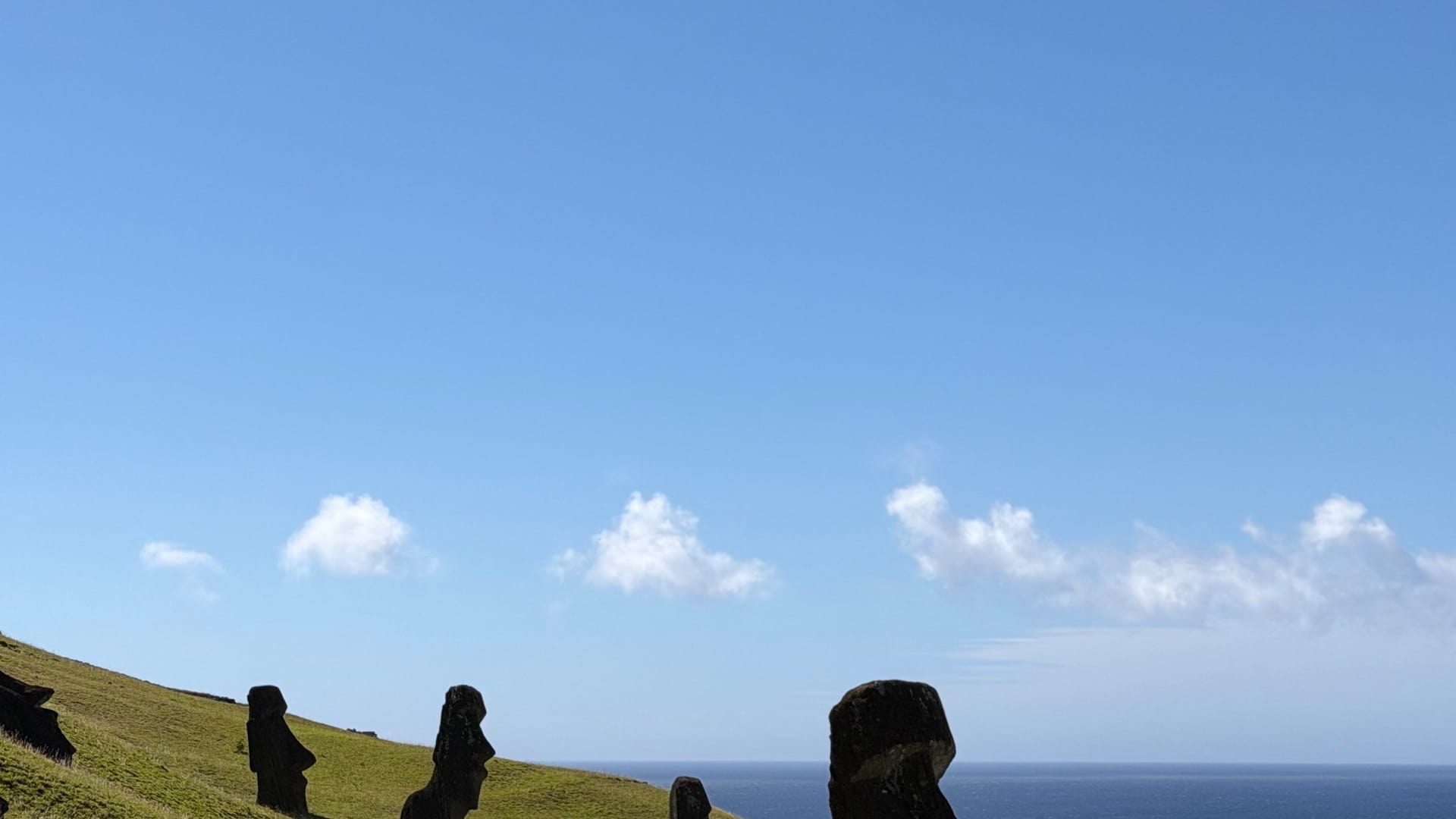
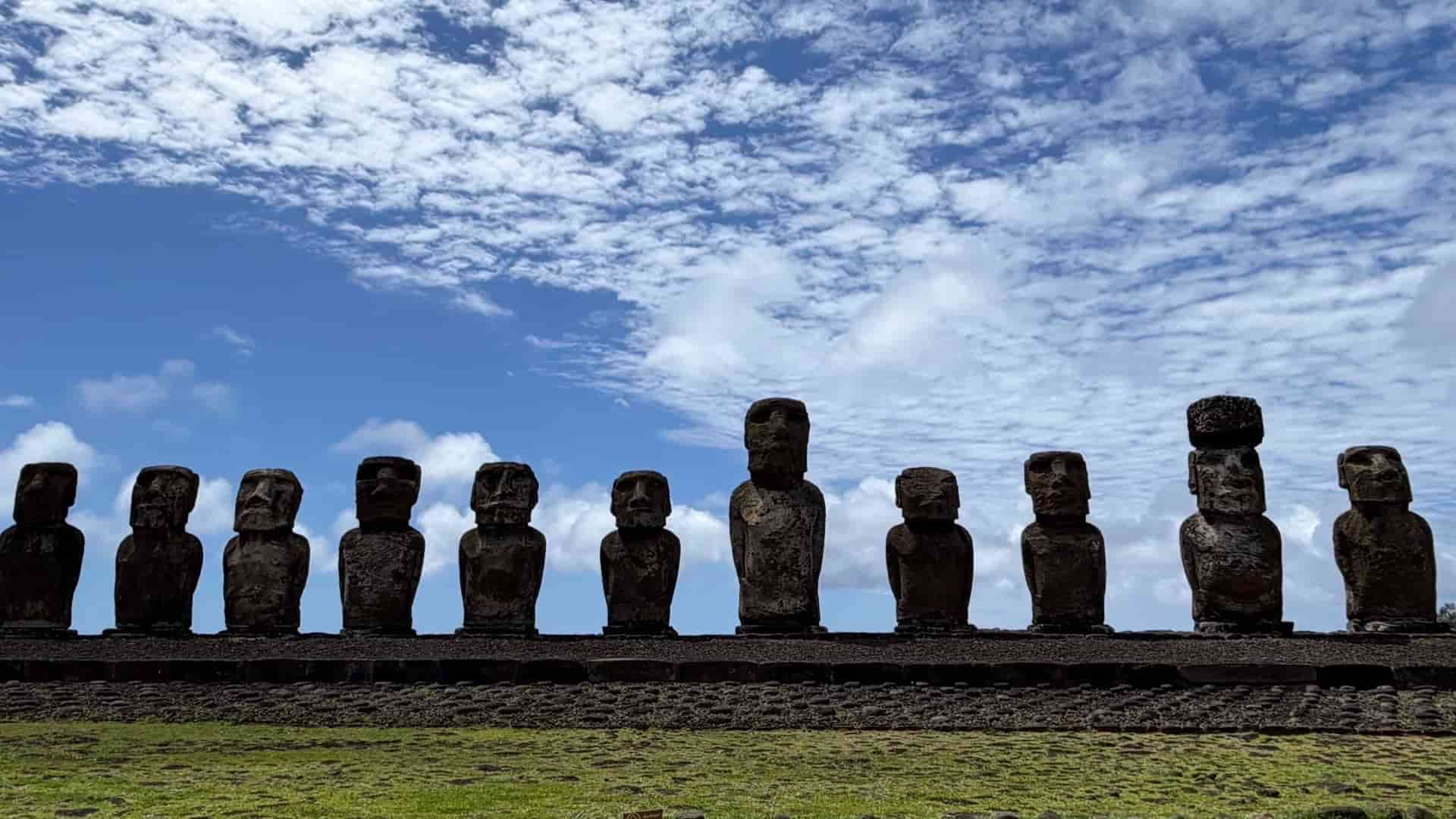
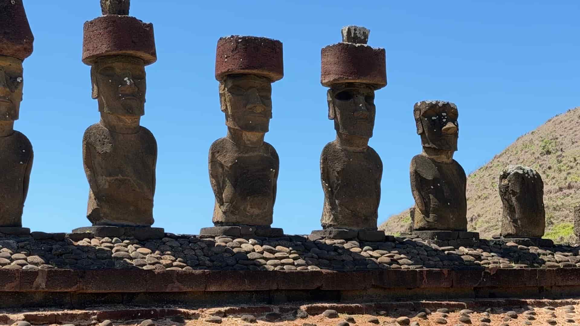
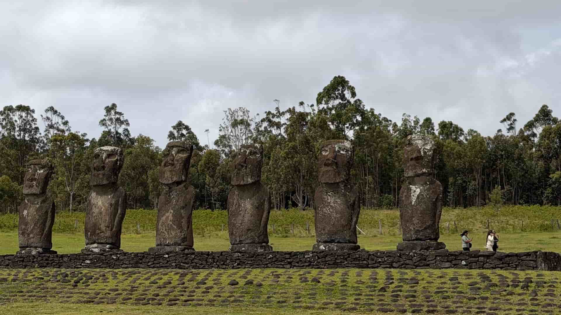
Yet, the most profound cultural resonance rests isolated in the South Pacific. At Rano Raraku on Rapa Nui, half-carved Moai remain embedded in the tuff matrix of the extinct volcanic crater—frozen mid-stroke by an ecological collapse that shattered the island's social structure. Standing before the fifteen monoliths of Ahu Tongariki, backdropped by rolling ocean swells, one reads the physical ledger of human ambition, spiritual obsession, and fragile resource limits. At the stone village of Orongo, perched between the crater lake of Rano Kau and a vertical cliff dropping into the ocean, the Birdman cult left petroglyphs carved directly into the basalt, marking a desperate evolution in faith when the old gods failed.
The Calibration & The Horizon
This trans-latitudinal expedition offers no passive scenery; it extracts a physical toll in exchange for absolute clarity. The effort-to-reward ratio is unsparingly high. Long transfer legs, punishing elevation shifts, and raw exposure are repaid by moments of stark enlightenment: watching blue glacial ice fracture in Patagonia, reading the silence of an Atacama sunrise, or standing beneath the stone eyes of Ahu Akivi. The journey strips away superficiality, forcing a calibration of physical resilience against planet-scale geometry. What remains is a quiet, durable understanding of human brevity against the enduring silence of rock, ice, and sea.