Where Political Boundaries Dissolve into Riparian Supremacy and Survival
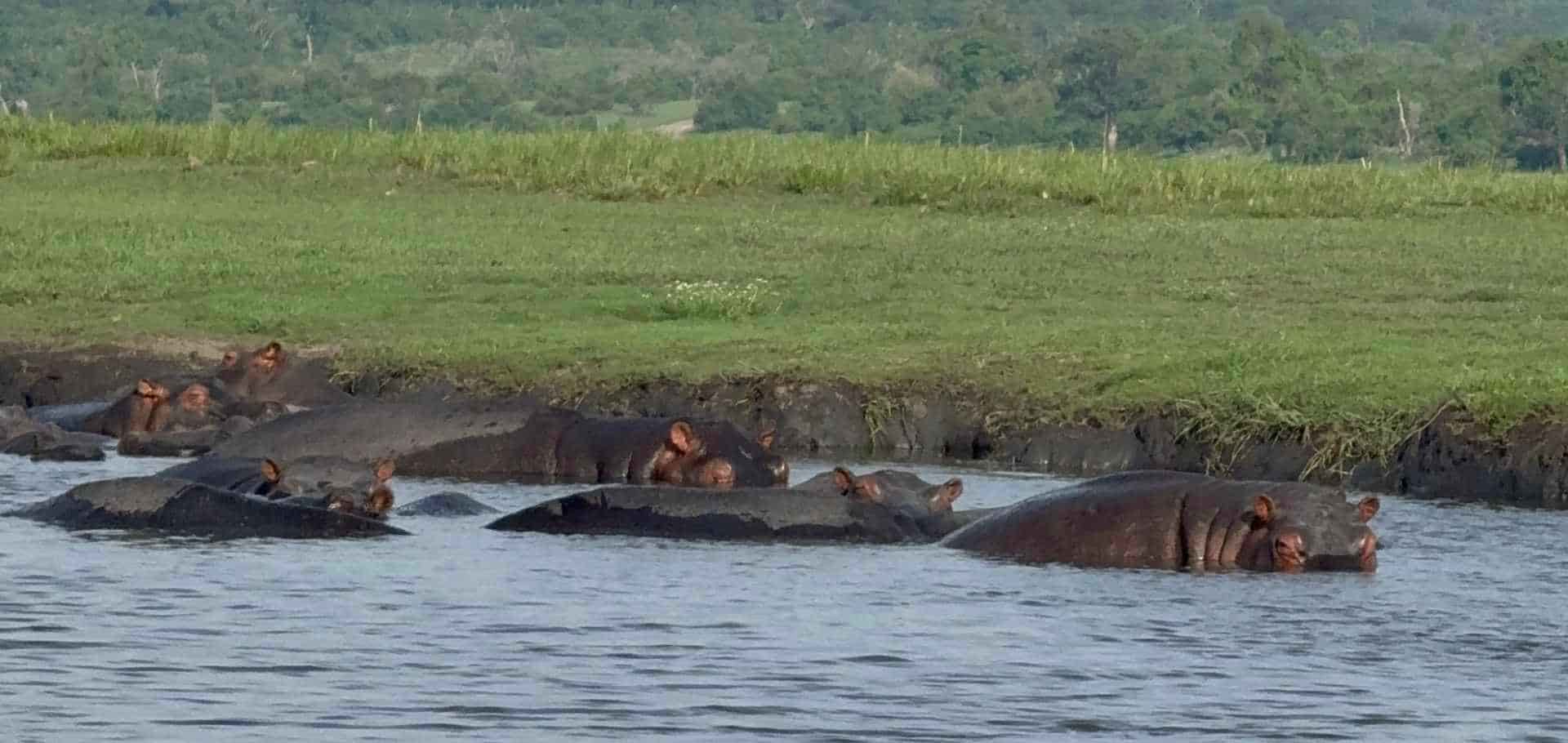
At 05:30 hours, the Caprivi mist clings to the water like a wet shroud, thick with the scent of decomposing papyrus and cold, iron-rich river silt. A low-frequency vibration—the deep-chested rumble of a bull elephant navigating the reed beds—reverberates through the steel hull of the Zambezi Queen. The vessel's engines hum a quiet, mechanical counterpoint to the wild theater outside. To the port side, the glassy skin of the Chobe River fractures. A territorial hippo breaks the surface with a wet, explosive exhalation, its jaws parting to reveal worn ivory. Here, the border between Botswana and Namibia is not a line on a map, but a shifting channel ruled by tide, tusk, and raw survival.
Geography & The Stakes
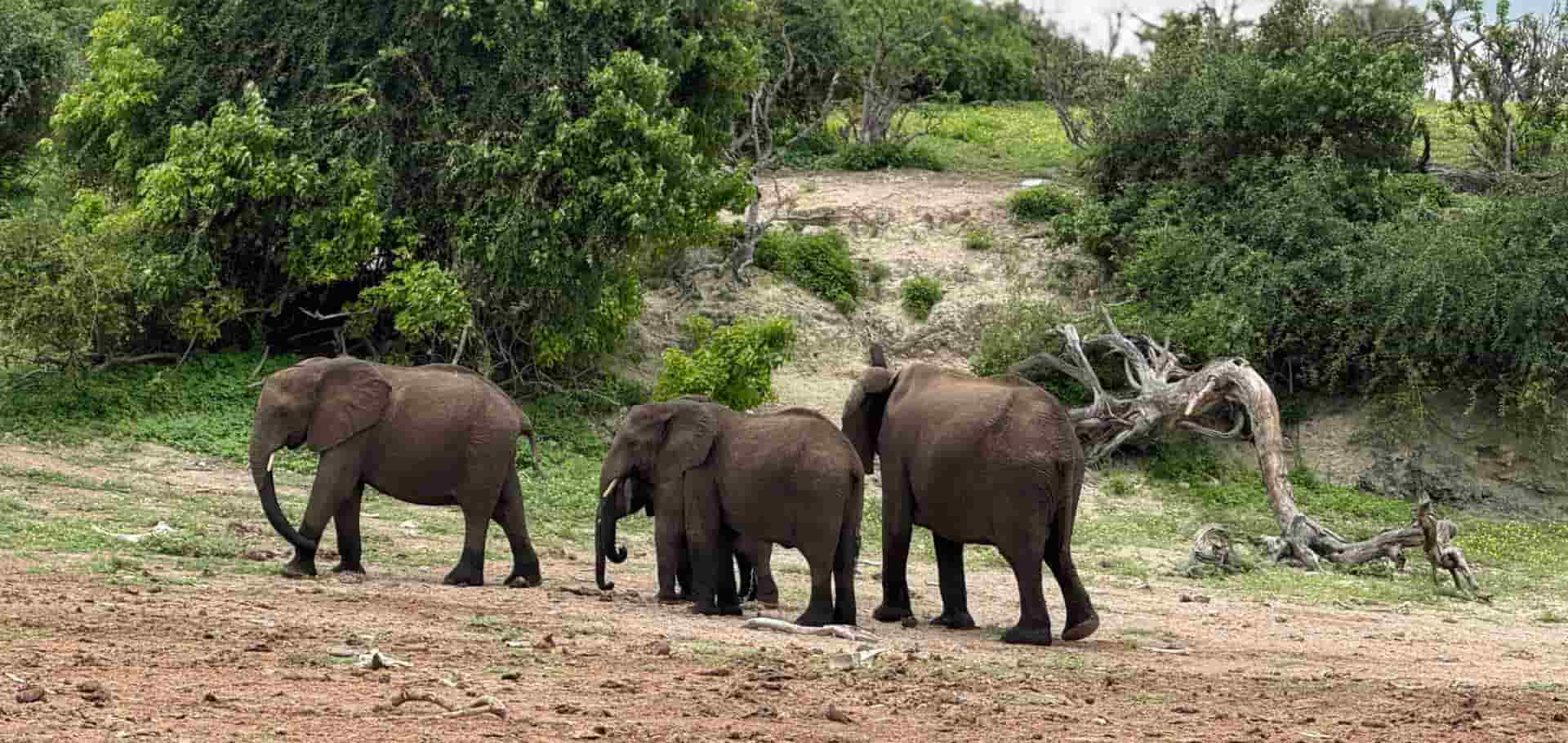
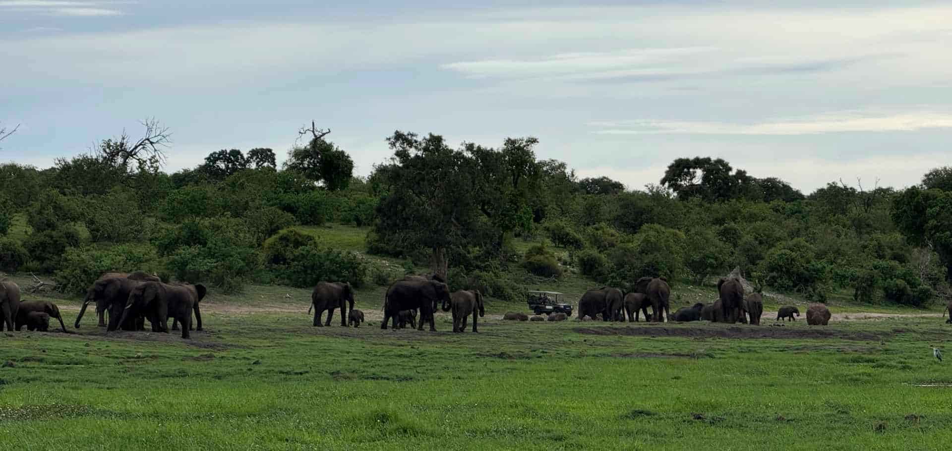
The Chobe River system is a complex hydraulic puzzle, a seasonal flood basin where four nations—Namibia, Botswana, Zambia, and Zimbabwe—converge on a single, vital axis. This is no passive watercourse; it is a high-stakes ecological theater of friction. During the dry season, the surrounding Kalahari sands bake under a relentless sun, forcing tens of thousands of elephants to migrate toward this narrow riparian corridor. The sheer concentration of megafauna per square kilometer creates a pressurized arena of competition. Nile crocodiles, some exceeding four meters in length, patrol the shallows, waiting for the weak or careless. To navigate these waters is to witness a landscape shaped not by human cartography, but by the ancient, unyielding demands of hydration and territory. Every sandbank represents a hard-fought boundary; every deep channel, a corridor of strategic movement.
The Logistics & The Movement
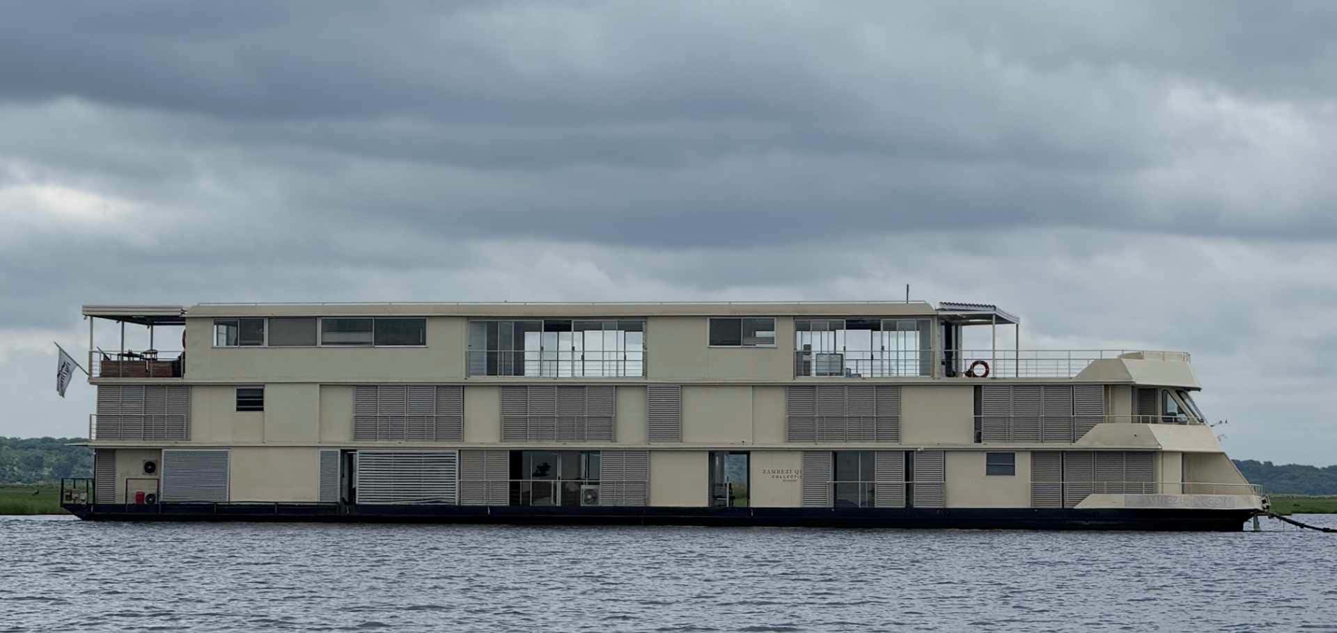
Navigating a flat-bottomed, three-story catamaran like the Zambezi Queen requires precise seamanship and a deep understanding of river hydraulics. With a draft of less than one meter, the vessel is designed specifically to skim over treacherous sandbars and shifting shoals that would ground standard deep-keeled crafts. The propulsion system relies on twin engines, which must be carefully balanced against the river's variable current, running at roughly two to three knots during our transit.
Our tactical approach involves anchoring in deep-water channels, then deploying low-profile aluminum skiff tenders for close-quarters reconnaissance. These highly maneuverable skiffs allow us to penetrate the shallow, choked inlets where the real drama unfolds. Here, the physical demands of the environment become immediate. The sun beats down with a dry, scorching intensity, registering forty degrees Celsius by noon, while the glare off the water's surface demands polarized optics to read the riverbed's topography.
We observe a breeding herd of seventy elephants negotiating a steep, mud-slicked bank. The older matriarchs use their trunks to test the structural integrity of the clay before guiding the vulnerable calves into the water. Our skiff coxswain cuts the outboard motor, allowing us to drift silently within twenty meters of the herd. The silence is absolute, save for the heavy sloshing of water and the guttural grunts of the matriarchs coordinating the crossing.
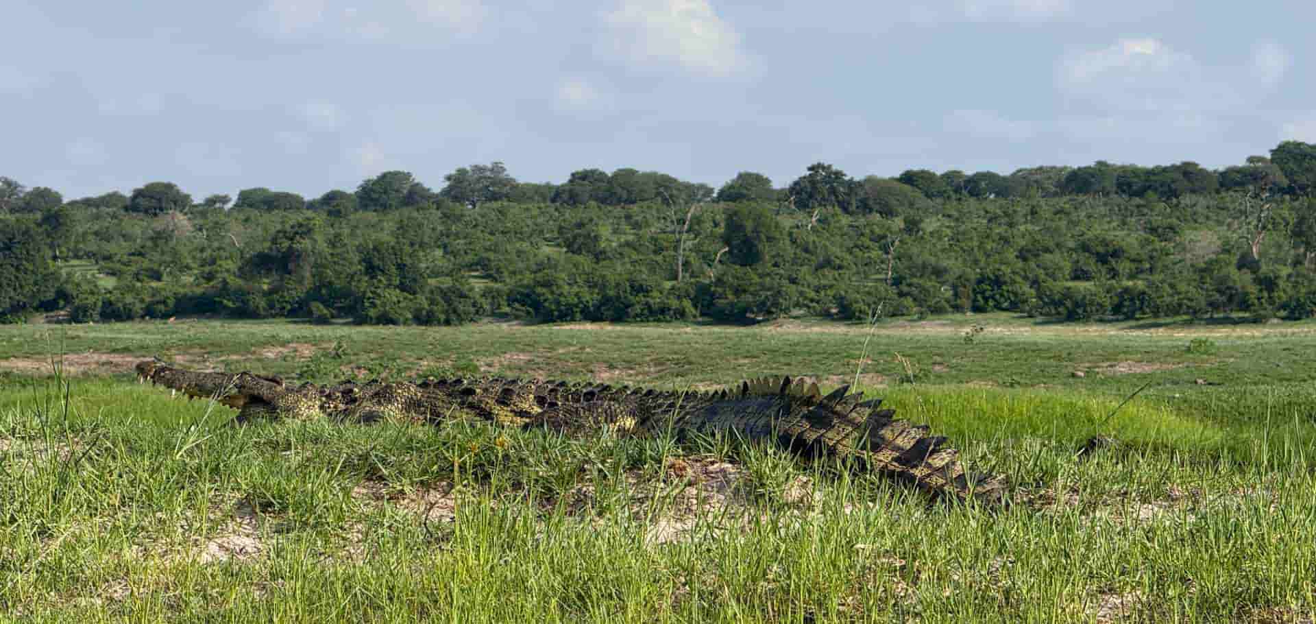
To the starboard, a four-meter Nile crocodile lies motionless on a sandbar, its yellowed eyes tracking our movement. Its body heat is regulated by gaping its mouth open, exposing rows of blunt, crushing teeth. This is a lesson in mechanical efficiency; the crocodile has remained virtually unchanged for millions of years, a perfect predatory design suited for these exact coordinates. We record our position at 17°48'S, 25°08'E. The wind shifts, bringing the pungent, alkaline smell of sun-baked mud and wild herbivore dung, reminding us that we are guests in a sovereign wilderness where humans hold no jurisdiction.
The Human & Cultural Echo
The human presence along this frontier is defined by adaptation and historical resilience. The Subia people have inhabited the floodplains of the Zambezi region for centuries, their lives dictated by the rise and fall of the annual floodwaters, known locally as the yuyeyi. They navigate these crocodile-infested waters in traditional mokoros—dugout canoes carved from the trunks of jackalberry trees. Where modern borders enforce political divides, the local communities maintain a fluid relationship with the land, recognizing that the river is a shared lifeline rather than a boundary.
In the late afternoon, we pass small, temporary fishing camps on the Namibian banks. Smoke rises from cooking fires, carrying the scent of drying bream and wild sage. These fishermen operate with an intimate, inherited map of the river, knowing exactly which deep pools harbor aggressive hippo pods and which shallows are safe to cast their nets. It is a sobering reminder that while our expedition relies on modern marine engineering, the true masters of this ecosystem navigate it with wood, muscle, and an ancestral understanding of the river's shifting moods.
The Calibration & The Horizon
As the sun dips below the horizon, casting a stark, bronze glare across the water, the skeletal silhouettes of dead leadwood trees stand like sentinels against a darkening sky. The day's heat slowly dissipates, replaced by a sharp, cool breeze carrying the scent of the open bush. The Zambezi-Chobe system is not a place for passive leisure; it is an arena that demands hyper-vigilance and a surrender of human ego. It tests our capacity to sit still, to listen to the ancient rhythms of a world operating independently of our digital schedules. The reward is not a checklist of sightings, but a profound recalibration of our place within the natural hierarchy.